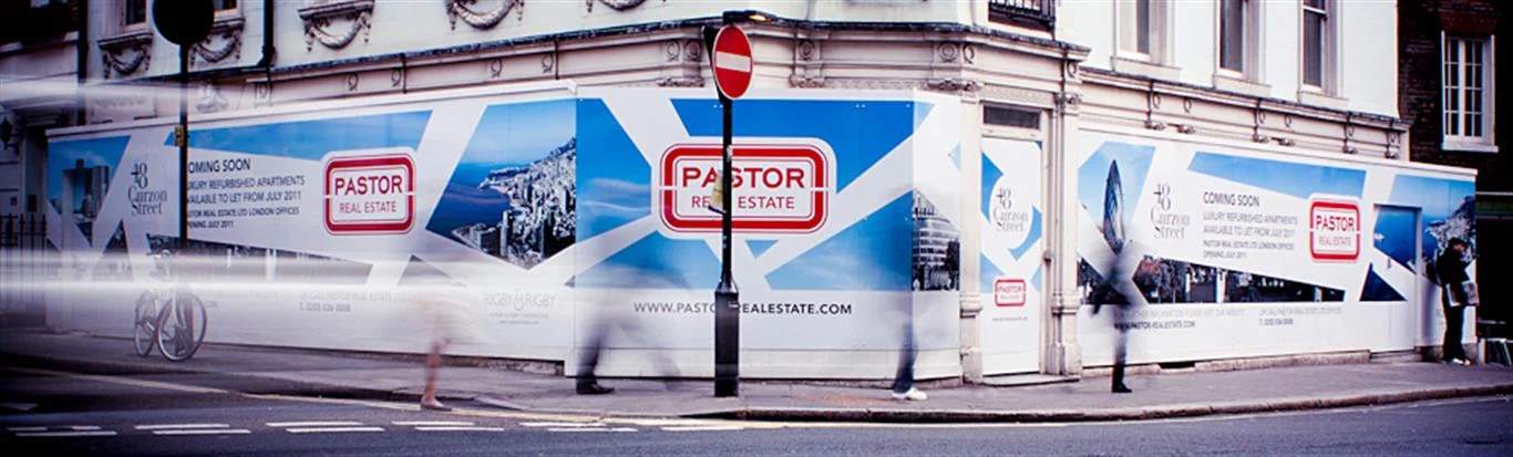
Large format printing
Give your campaign room to be seen.

Maps are unforgiving prints, since hairline contours and tiny place names are the whole point. Large map printing is for planners, councils, estate managers, teachers and collectors who need something readable at wall scale, from a site plan to an antique sheet.
If someone will measure from the print, say so at the start. Keep the file at its true size in the PDF, and include a scale bar, as a bar stays correct even if the print is enlarged later while a written ratio such as 1:2500 does not. Paper can move slightly with humidity, so maps needing measured accuracy should be treated as a reference, not a survey. For wall display, you may prefer to scale the image to fit and simply drop the ratio altogether.
Vector PDFs are the ideal source, as lines and labels stay sharp at any size. A map exported as a low resolution JPEG goes soft quickly, and enlarging will not recover detail. GIS and CAD users should flatten transparency and embed fonts, then zoom to 400% to check the labels. Scanning an old map? Handle it as a piece of artwork, and see our drum scanning notes. One caution: mapping data is usually copyrighted, so check your licence covers enlarging or display.
With large map printing, how people will use the sheet should decide the finish, because the same image can need a very different surface in a classroom and a boardroom:
A map behind glass in a bright office may need a matt finish to reduce glare.
Technically it may be possible, but the file may be too small and the map is likely to be under copyright. Check the licence, then send us the file so we can advise on quality.
Yes, if it is wider than the material can handle, or if you need separate tiles. Planning the split along grid lines or quiet areas keeps the joins tidy and easier to line up.
Give your campaign room to be seen.
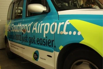
Give printed graphics the structure and finish they need.
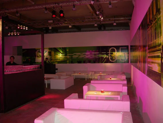
Transform interior walls with printed graphics for offices, retail environments and exhibitions.
Tell us what you’re making. We’ll help you plan the print.